Day 1: Drukgyel Dzong → Shana (Sharna Zampa)
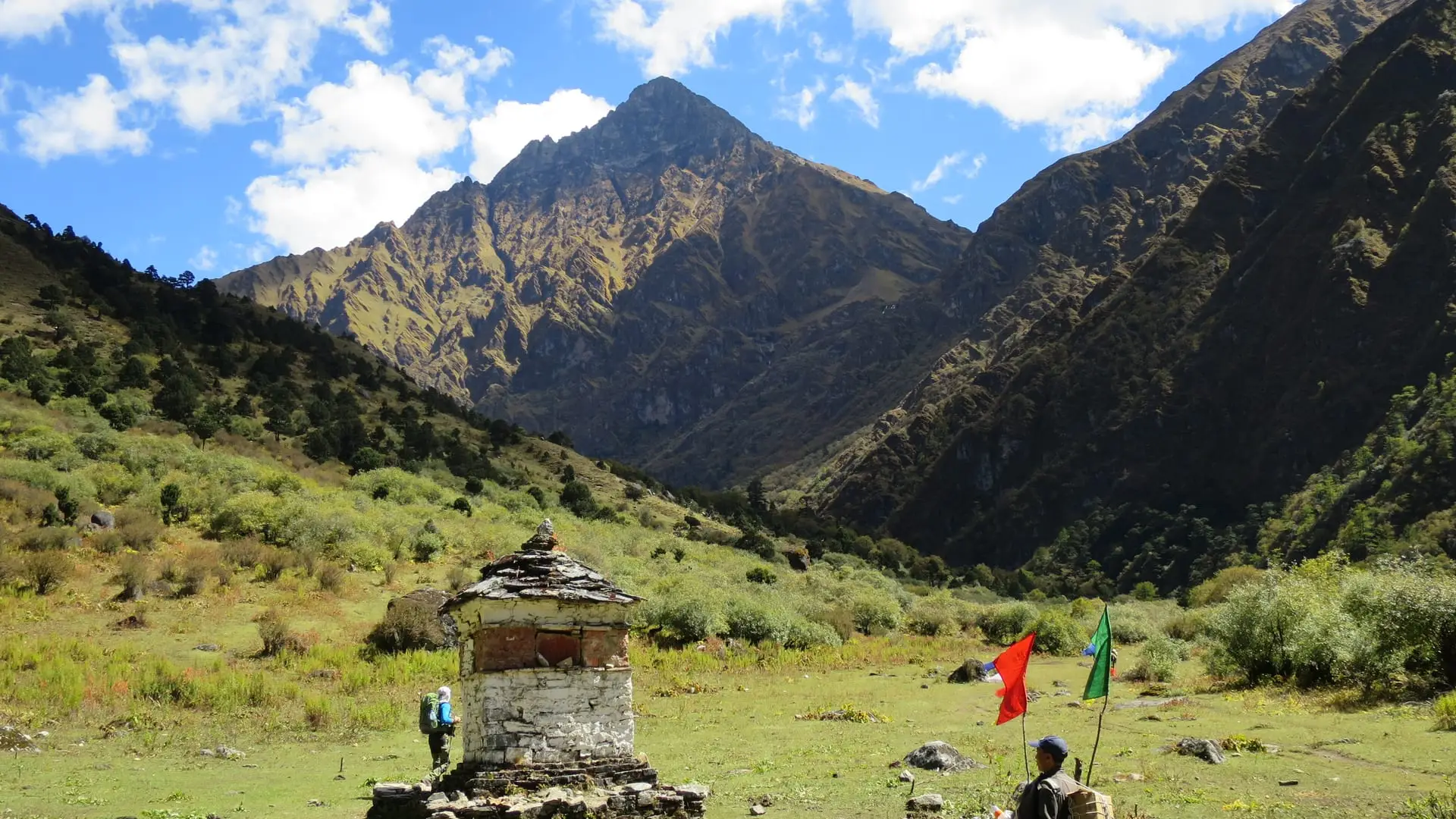
The trek begins at the ruins of Drukgyel Dzong — the first view of Jomolhari — then follows the Paro Chhu past Tshento and over Swiss-built suspension bridges to the Shana campsite.
~8 walking days · highest pass 4,930 m
4,930 m 16,175 ft
The route
The classic Jomolhari trek is a traverse, not an out-and-back: it follows the old highlander path from the ruins of Drukgyel Dzong near Paro, up the Paro Chhu to the base camp at Jangothang (4,044 m / 13,268 ft), then over two high passes to Lingshi, Shodu and Barshong before descending to the road head near Thimphu. It is graded challenging — about eight walking days plus an acclimatisation day, much of it above 4,000 m. It can also be walked in reverse, Thimphu → Paro.
Day by day
The trek begins at the ruins of Drukgyel Dzong — the first view of Jomolhari — then follows the Paro Chhu past Tshento and over Swiss-built suspension bridges to the Shana campsite.
A long day on a riverside path into Jigme Dorji National Park, climbing through forest of birch, fir, larch, blue pine and rhododendron.
The valley opens out; blue poppy appears in late spring. Past a military camp and the district border to Jangothang — the Jomolhari Base Camp — with the first close views of Jichu Drake and the ice-covered east face of Jomolhari.
A rest and acclimatisation day after ~1,800 m of gain in three days. Day-hikes toward the Jomolhari glacier, the Jichu Drake glacier, or the ridge between them.
A long climb to Nyile La, the first high and windy pass, with views to Masagang, then down to Lingshi below its solitary dzong.
Over Yele La — the highest point of the trek — through the Jimenameshing boulder fields to the Shodu campsite.
An easier day down a limestone valley past waterfalls and rock faces, climbing to the Barshong Dzong ruins.
A rolling, rocky trail with stream crossings as the route descends toward the road head.
A final descent to the road head at Dodena, then a short drive into Thimphu. The trek can also be walked in reverse, Thimphu → Paro.
Distances and times vary between operators and conditions; this follows Little Bhutan’s route. Reconfirm the current itinerary when you enquire.
The high points
The trek crosses Nyile La (~4,870–4,890 m / ~16,000 ft) on the way to Lingshi and Yele La (~4,930 m / 16,175 ft) on the way to Shodu — Yele La is the highest point of the route. Both are exposed and often windy; the reward is an arena of peaks including Jichu Drake and Masagang.
A shorter base-camp variant (out-and-back to Jangothang, sometimes called the Jomolhari Loop) is possible with fewer days — ask Little Bhutan about options.
The classic traverse is about eight walking days plus an acclimatisation day at Jangothang — roughly nine days on the trail. Packaged trips add Paro arrival, a Tiger’s Nest hike and departure days, so they run about 12–13 days in total. It can also be walked in reverse, Thimphu to Paro.
It is graded challenging. There is no technical climbing, but several days are spent above 4,000 m and the route crosses two passes near 4,900 m, so altitude is the main difficulty. Good general fitness and gradual acclimatisation matter most.
Yele La, at about 4,930 m (16,175 ft), on the day between Lingshi and Shodu. The trek also crosses Nyile La at roughly 4,870–4,890 m.
Spring (mid-March to May) and autumn (late September to November) for stable weather and clear views. Winter snow closes the high passes and the summer monsoon makes the trail muddy. Reconfirm seasonal conditions with your operator.
Little Bhutan is a locally owned operator whose Jomolhari trek includes your licensed guide, permits, government fees, camp crew and ponies — so you can focus on the mountain.
Trips arranged by Little Bhutan · locally owned & operated